UK Weather: Britain warned over wind after Storm Brendan diverts flights
14 January 2020, 05:38


Storm Brendan has forced some airlines to divert flights as 80mph winds battered parts of the UK with more strong gusts forecast on Tuesday.
Several flights scheduled to land at Gatwick were diverted after attempting to land several times as high winds buffeted planes
Seven flights to the West Sussex airport were diverted to other locations across the UK, after gales in excess of 40mph struck the area on Monday evening.
Gatwick Airport said two Wizz Air flights, four easyJet services and one Norwegian Air flight were diverted. One EasyJet flight from Edinburgh was forced to land at Birmingham.
Conditions around the airport will remain blustery overnight, according to the Met Office, with warnings of stronger gusts on Tuesday afternoon which could cause more travel misery for those flying.
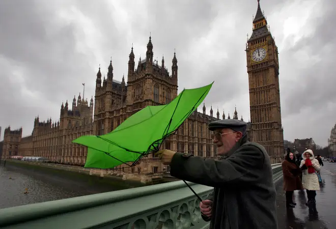
Gales of up to 80mph hit railways across the country on Monday, while drivers were advised to take extra care on the roads.
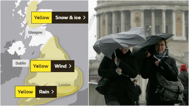
Forecasters have issued yellow wind warnings as the shocking weather is set to continue on Tuesday when the strong winds are expected to affect Wales and nearly all of England, although it will no longer be classed as Storm Brendan.
The Met Office has warned people to prepare for travel delays, while coastal communities could be hit by large waves.
Meteorologist Alex Burkill, from the Met Office, said more wet and windy weather is forecast to come up from the South West on Tuesday afternoon.
"That's not Storm Brendan - Storm Brendan has moved northwards by this point," he said.
"It's not too far away so we're still under the influence of it, but this new feature that comes in is going to bring some heavy, persistent rain across much of the UK, to be honest, with very strong winds."
Mr Burkill said the gales were much less likely to reach Monday's highs of over 80mph, but inland areas could be hit with gusts of more than 50mph.
He added: "For many, tomorrow will actually be a windier day than today, despite the fact that today was named and tomorrow isn't."
The Met Office has issued a yellow warning of rain to cover the South East on Tuesday, where heavy rain is expected to cause disruption and the flooding of a few homes and businesses is "likely".
"In those areas, the ground is already saturated after what was a very wet December, and also a wet autumn, so that's why we're going to see some localised issues due to the heavy rainfall," Mr Burkill said.
Although the rest of the week looks unsettled, conditions are set to be drier and brighter at the weekend.
The strongest gust recorded by the Met Office on Monday was 87mph at South Uist, in the western Isles.