Weather warning issued as 'harsh frosts' and cold winds set to grip UK
2 January 2021, 08:28 | Updated: 2 January 2021, 10:38


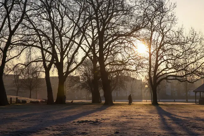
A yellow weather warning has been issued for snow and ice across large swathes of northern England as the first week of January is set see Britain gripped by "harsh frosts" and bitterly cold icy conditions, forecasters said.
Saturday promises to be drier for many, with relatively clear skies, but wintry showers around coastal areas could creep inland, bringing some hill snow throughout the day, the Met Office said.
Overnight scattered showers combined with freezing temperatures will also bring a risk of icy pavements and roads.
Read more: Covid-19 vaccine shortage 'reality' can't be 'wished away', Chris Whitty warns
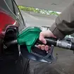
Motorists have been warned of the risk of icy patches forming quickly after sunset following collisions on New Year's Eve and New Year's Day.
The weather warning has been issued across large swathes of northern England, the Midlands and Wales on Saturday.
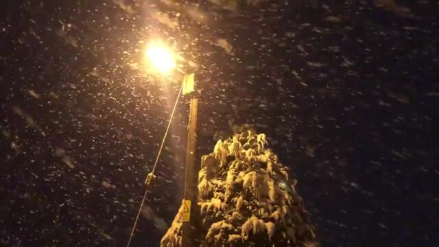
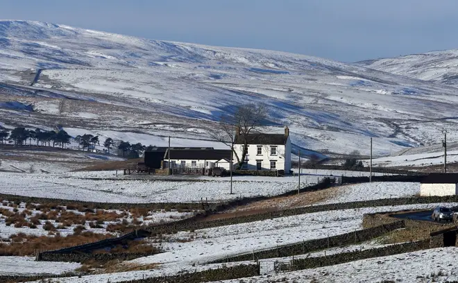
Snow blankets parts of the UK
Drivers are being warned of difficult conditions on the roads, with areas of sleet and snow moving southwards.
Forecasters say 2-5cm of snow is likely over higher ground, with around 1-2cm at lower levels.
The warning is in place until 6pm on Saturday.
Met Office meteorologist Alex Burkill said the UK will see "harsh frosts" throughout the first week of January.
"Obviously it's very cold and it's going to stay cold through this week," he said.
"Whilst there will be some wintry hazards around, it's not really until the end of the week until we see any significant snow.
"Tonight we'll see temperatures dropping again and that will bring a fairly significant risk of ice patches, particularly in northern parts of Scotland.
"I expect it won't take very long at all for the risk of icy patches to start forming an hour or so after sunset."
Mr Burkill added that around Manchester, the thermometer could plummet to a low of minus 4C (24.8F) overnight, he added.
Next week, cold easterly winds will develop, bringing wintry showers, particularly around eastern parts, while hazardous freezing fog, frost and ice risks will all continue, the Met Office added.
On Thursday, overnight temperatures dropped to a low of minus 7.3C (18.9F) in Wiltshire.
RAC Breakdown spokesman Simon Williams said: "The message for those who have to drive is to adjust their speed according to the conditions and leave extra stopping distance so 2021 doesn't begin with an unwelcome bump and an insurance claim.
"Snow and ice are by far the toughest driving conditions, so if they can be avoided that's probably the best policy."