Exact date Brits to shiver in wintry blast and strong winds after 'mini-heatwave' for many this weekend
12 April 2024, 06:57 | Updated: 12 April 2024, 07:00


Brits are set to endure another cold snap after a balmy few days this weekend.
Listen to this article
Loading audio...
Forecasters said that temperatures could rise to 21C in parts of the UK this weekend, with south-east England looking set for a few days of particularly pleasant weather.
But after that, temperatures are set to plummet from next Monday for much of the country, with a band of low pressure sweeping in from the north.
Lancashire, Cumbria and central Scotland could see the mercury fall to 2C, while temperatures will drop to 4C in north Wales and parts of Northumbria, County Durham and East Yorkshire.
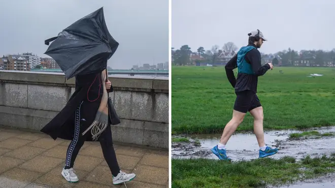
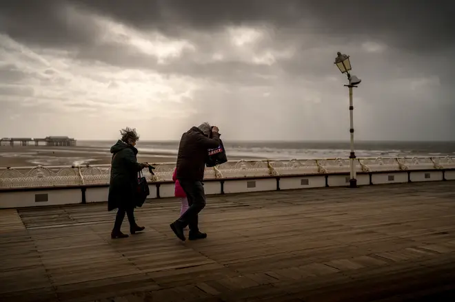
Strong winds are likely to make the weather seem even colder, with 50mph gusts felt in Northern Ireland next Monday.

Jo Farrow, a meteorologist at Netweather, said: "There will be a change during the weekend to cooler, fresher feeling air and a northerly nip in the air for the start of the next working week.
"Temperatures will tumble from the high teens for the end of this week down into single figures for Monday and Tuesday.
"Manchester will be closer to 8C by Monday, feeling more like just 4C, Brighton might record 11C on the thermometer but will feel more like 6C in the rain and strong gusts. Portrush, Co Derry is having a taste of spring on Thursday in the southerly wind at 16C but by Monday it will feel more like just 4C with 50mph gusts."
All across the UK, temperatures will barely make it above 10C because of northerly winds coming in from the Arctic.
Ms Farrow added: "A cold front barges through mid-weekend, allowing the fresher air from the North Atlantic. By the end of Monday, we will feel a cold northerly flow, coming down from the Arctic. Gardeners do beware of this upcoming colder shift. There will be a risk of frost on the grass, with an air frost for inland northern Scotland. We’ll have to see how the cold flow develops as Thursday night looks potentially chilly across the UK.
Ms Farrow said: "It’s just the air will become cooler, so that will be noticeable as it goes dark and as bands of rain or blustery showers move by, again it will feel cold. It's the change of airmass that will make a difference.
"Monday looks windy with gales for exposed parts although the wind does ease down through Tuesday."

Some snow could even fall in Scotland, but most of the country will avoid the flurries.
The Met Office said in its long-range forecast for April 14-23: "The weather is likely to remain generally unsettled, at least in the north, with the focus for the most persistent rain and showers across north-western parts of the UK.
"Here, rain could be heavy at times, especially in upland areas, with some snow mainly over high ground.
"This colder, northerly flow will possibly give way to something milder from the Atlantic, but timing on this change is uncertain. Windy spells of weather are also likely, particularly in the north."