'Danger to life' warnings issued by Met Office as Storm Ciaran to bring flooding and 90mph winds
31 October 2023, 20:00 | Updated: 1 November 2023, 07:38
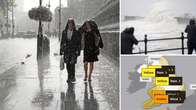


Severe 'danger to life' weather warnings have been put in place ahead of Storm Ciaran's arrival - just a week after Storm Babet brought chaos across the UK.
Listen to this article
Loading audio...
Yellow weather warnings have covered much of southern England and parts of Wales every day this week, mainly for wind and rain.
A more severe amber weather warning will cover the southern English coastline on Thursday, including Portsmouth and Brighton.
There is a second amber weather warning - also for wind - covering Exeter and Plymouth, also on Thursday, albeit at a different time.
The amber weather warning covering the south-west coastline will be in place from 6am to 8pm on Thursday.
Meanwhile, the other amber weather warning will run from 3am to 1pm on Thursday.
What to expect with amber weather warnings
According to the Met Office, "very strong" winds could bring disruption to travel and cause structural damage.
Additionally, flying debris "could result in a danger" to life, the forecaster said.
Other aspects of an amber weather warning:
- Damage to buildings and homes is possible, with roofs blown off and trees and power lines brought down
- Roads, bridges and railway lines may close, with delays and cancellations to bus, train, ferry services and flight
- Power cuts could occur and affect other services, such as mobile phone coverage
- There is potential for large waves and beach material being thrown onto sea fronts, coastal roads and properties
Read More: Exact date Storm Ciarán will batter UK with heavy rain and 90mph winds on the way
Read More: Exact date UK to be 'covered in snow' in 'polar blast' after Storm Babet
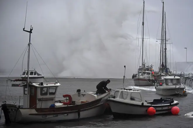
Met Office Deputy Chief Meteorologist, Chris Almond, said winds of up to 90mph could hit some parts of the UK.
“Winds associated with Storm Ciarán are likely to gust to 80mph along the south coast of England, with a small risk of somewhere exposed seeing 90mph, and winds could even gust up to 50 or 60 mph further inland," he said.
"This deep low-pressure system will also bring heavy rain to much of the UK, but the heaviest rain is expected in southern and western areas with 20 to 25mm quite widely across the region but up to 40 to 60mm potentially over higher ground," Mr Almond continued.\
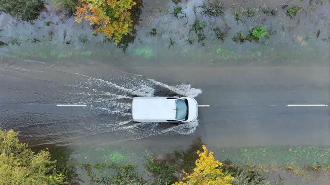
"Heavy and persistent rain will fall onto already saturated ground bringing a risk of further impacts such as flooding in areas that are already struggling to clean up from the heavy rainfall we have seen over the last week or so."
The naming of a new storm by the Met Office comes less than two weeks after the UK was battered by Storm Babet.
Areas in Scotland, southern England and the Midlands were hit by flash flooding.
One town in Scotland, Brechin, was forced to evacuate over flooding fears.
At least seven people died in the floods, which were considered to be the worst the UK has experienced in several years.