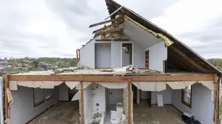
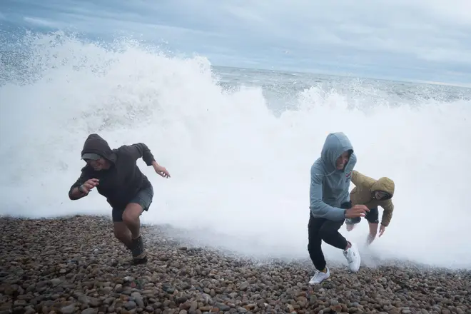
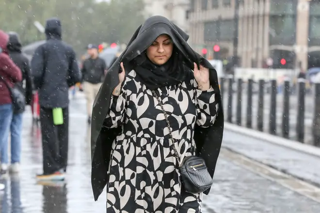
'Danger to life' warning as Met Office issues latest alerts with Storm Antoni set to batter Britain
4 August 2023, 18:51


Brits have been warned that Storm Antoni could pose a "danger to life" and cause injuries as it rolls in on Saturday.
Listen to this article
Loading audio...
The forecaster said people could be hurt by flying debris during strong winds and buildings could be damaged.
Transport could also be impacted and power cuts may happen.
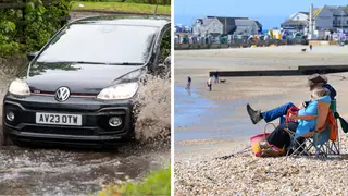
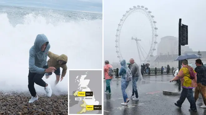
The national weather service has said that the south of Wales and south-west England will be hit with winds on Saturday 5 August - with Northern Ireland to face significant rain on the same day.
It warned: "Injuries and danger to life from flying debris are possible. Some damage to buildings, such as tiles blown from roofs, could happen.
"Road, rail, air and ferry services may be affected, with longer journey times and cancellations possible. Some roads and bridges may close.
"Power cuts may occur, with the potential to affect other services, such as mobile phone coverage
"Injuries and danger to life could occur from large waves and beach material being thrown onto sea fronts, coastal roads and properties."
Read More: August weather forecast: What's the outlook and will the UK get a heatwave?
Met Office Chief Meteorologist Steve Willington said: "Storm Antoni will bring some potentially disruptive weather on Saturday as it moves from west to east.
"Northern Ireland is likely to see some of the highest rainfall totals, with 40-60mm falling in some spots, but 20-30mm more widely.
"Storm Antoni will also bring strong winds to a swathe of Wales, southwest England and southern coastal areas of England. The strongest winds will affect parts southwest England and southwest Wales where exposed coasts and high ground could see gusts in excess of 60mph.
"In these areas, gusts inland could reach 50-55mph for a time. These windy conditions will likely coincide with high tides which will present an additional challenge for coastal areas."
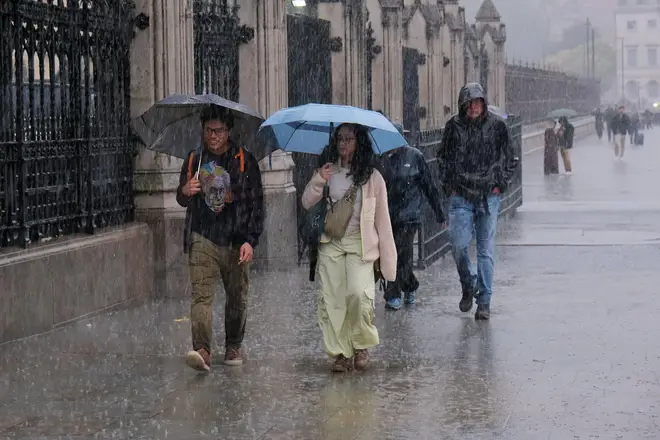
The Met Office warned that despite the storm being contained to these areas, "many will still see a very wet day, especially in north Wales and north England."
"Busy travel networks at this time of year and the possibility of people having made plans to be outside have resulted in the system meeting our criteria for naming, with a strong chance of disruption for those within the warning areas," it added.

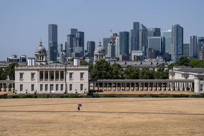
The Met Office has also issued a new long-range forecast which suggests that the last throes of summer will see a heatwave.
Britain's national forecaster reads: "During the second half of August, there is a greater chance of more settled spells developing, with warmer and drier conditions becoming slightly more likely than the unseasonably unsettled weather of July.
"However, unsettled conditions are never too far away and so there will likely still be some spells of rain or showers for many areas from time to time.
"Overall, temperatures look like they will recover to at least average, or a little above, however any prolonged dry or hot spells appear to be unlikely."
According to GFS weather forecasts, parts of the UK could hit 32C on August 12.
Jim Dale, senior meteorologist for British Weather Services, said the UK will finally experience a delayed start to summer thanks to an Azores high pressure system.
"An Azores high is migrating towards and across us and it all starts this time next week if all goes as currently seen," Jim Dale, senior meteorologist for British Weather Services, told the Express.
He continued: "There should be a south to north progress with 32C in south east England by August 12, in my opinion, though, it's still a forecast for now.
"The gradual change is simply down to a change in airstream; cool northerlies at times this week.
"Warm/hot southerlies later next week as the high pressure tracks across us and then out to the east."