Snow UK: Four Covid vaccine centres close as police advise against snowball fights
24 January 2021, 10:02 | Updated: 24 January 2021, 14:25

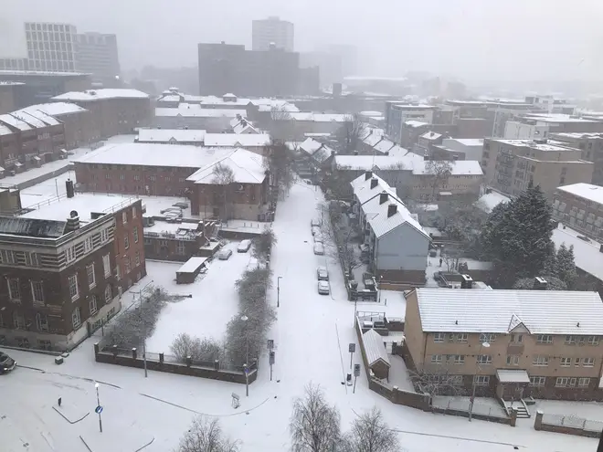
Four vaccine centres in South Wales have been forced to close as heavy snow has causes travel disruption across the UK.
Cwm Taf Morgannwg health board said all appointments at Bridgend, Rhondda, Abercynon and Merthyr Tydfil vaccine centres on Sunday would have to be rescheduled for safety reasons.
It comes as police have also reminded people to only travel if absolutely essential, with officers saying they “don’t want to be dealing with sledgers and snowball fights” during the Covid-19 lockdown.
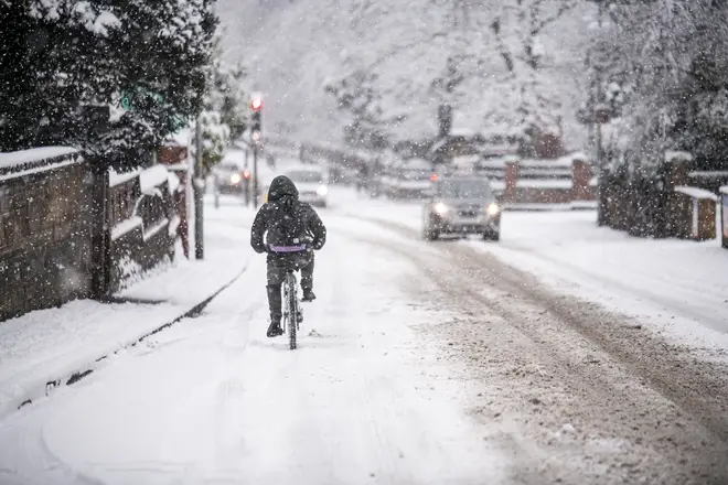
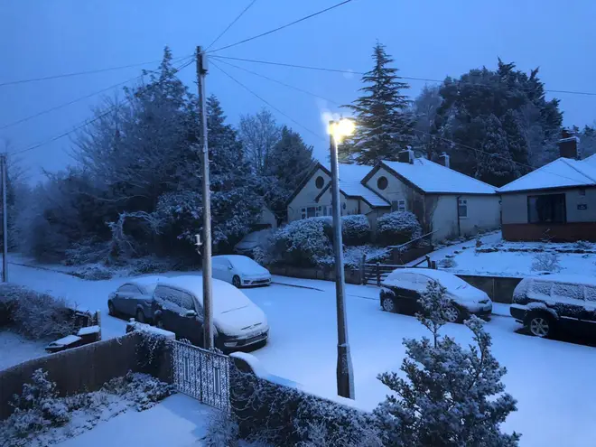
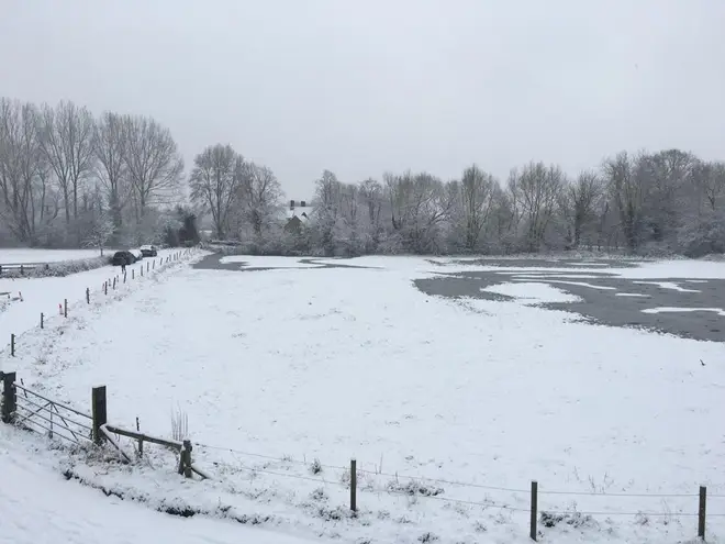
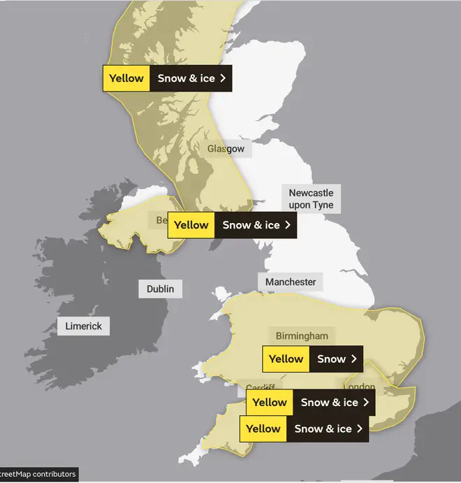
Yellow warnings from the Met Office are in place for snow and ice across much of the UK until midnight, with snow already settling across Wales and the West Country.
Devon and Somerset, Bristol and Bath have all seen some snow, with heavy snow settling in Gloucestershire and Wiltshire.
There were reports of 'thundersnow' in parts of Hampshire on Sunday morning, with thunder setting off car alarms just minutes before the snow fell.
Gloucestershire Police described the M5 as “a bit like a scene from Star Wars” and warned people not to travel to Cleeve Hill outside Cheltenham, where motorists have been stranded.
Driving on the #M5 this morning is a bit like a scene from #Starwars travelling through #hyperspace - but it's all about keeping your speed down today & keeping your distance in #Gloucestershire #snow & of course #stayathome #essentialtravelonly just in case you've not heard 👍 pic.twitter.com/MpBA6K1f0g
— Glos Police Specialist Ops (@GlosPolSpecOps) January 24, 2021
A Covid-19 testing centre has been forced to close in Oakengates, Telford, due to the heavy snow.
Meanwhile, in Swindon, Inspector Louis McCoy tweeted: “Note to everyone, I don’t want to be dealing with sledgers and snowball fights. There’s still a lockdown on. Think about it, don’t be tempted.”
Naturally, drive safe if you have to go out for essentials. Also a note to everyone, I don’t want to be dealing with sledgers and snowball fights. There’s still a lockdown on. Think about it, don’t be tempted.
— Insp Louis McCoy (@WiltspoliceLM) January 24, 2021
Warnings over treacherous road conditions are in place across most of Wales, north west Scotland and the south of England and Northern Ireland.
Highways England warned that the snow had caused collisions on the M3, M27 and M25, while parts of the M5 and M6 are currently down to just one lane due to the snow.
Traffic Wales says there are poor driving conditions on both sides of the M4 in South Wales, with images showing snow on the motorway.
In Ironbridge, Telford, which flooded earlier this week, all roads have been closed "due to the amount of ice under the snow in areas where there was flood water". People have been told not to travel to the area.
The horseracing at both Hereford and Thurles has also been abandoned due to heavy snow, despite frost covers being used overnight.
‼️ IRONBRIDGE ROAD CLOSURE UPDATE - 24 JAN 2021 ‼️
— Telford & Wrekin Council (@TelfordWrekin) January 24, 2021
Our teams are out and checking road conditions in Ironbridge.
⛔ We will keep all roads closed for now due to the amount of ice under the snow in the areas where there was flood water.
⚠️ Please DO NOT travel to the area. pic.twitter.com/Oextwtq5XU
Across the Midlands and Wales, the Met Office says there is the possibility of power cuts and that “some rural communities could become cut off”.
The forecasters say the “cold conditions are forecast to remain across the UK until Tuesday”.
#Snow and #ice to start #SundayMorning
— Met Office (@metoffice) January 23, 2021
Stay #WeatherAware ⚠️ pic.twitter.com/TWib4T44qp
Chief Met Office Forecaster Steve Willington said: “The exit of Storm Christoph – which brought the heavy rain to a central band of the UK – has established a flow of colder air from Iceland and the Arctic. And this is bringing a mix of wintry hazards across the UK.
“In clearer conditions, overnight ice will remain a hazard, while a band of snow is likely to bring falls of 1-3cm quite widely across central areas of the UK, particularly the Cotswolds and higher ground in the East Midlands on Sunday. But snow outside these areas is also a potential hazard.”
While the snow will be welcomed by many stuck indoors during the lockdown, there are concerns some areas already hit by Storm Christoph may see more flooding next week.
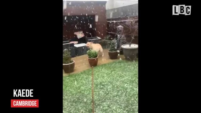
Dog jumps for joy as snow descends
Forecaster Chris Tubbs said from Tuesday the UK may see more wet weather, adding: “Once the certainty increases about which areas are most likely to be affected by potentially heavy rain, we may need to issue further warnings, especially if next week’s rainfall is likely to compound the impacts from this week.”
As of Sunday morning there were 62 flood warnings in place - particularly along the River Ouse, Severn and Trent - requiring immediate action as flooding is expected.
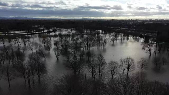
Drone footage shows full extent of Storm Christoph flooding
The Environment Agency is warning that river levels remain “exceptionally high” across England, with 500 properties already flooded so far.
Provisional figures show Honister, in Cumbria, received 123.8mm of rain on Tuesday, a new daily rainfall record for this winter.
Figures also show parts of Cleveland, in North Yorkshire, received more than their average January rainfall in just a 48 hours.
Dan Bond, Flood Duty Manager at the Environment Agency, said: “There is a chance of localised flooding of land and roads across parts of the North West of England on Tuesday due to further rain.
“We urge people to keep away from swollen rivers and not to drive through flood water – it is often deeper than it looks and just 30cm of flowing water is enough to float your car. ”


