Brits brace for blustery start to July as 50mph winds set to hit ahead of 40C heatwave
30 June 2023, 12:14 | Updated: 30 June 2023, 12:43
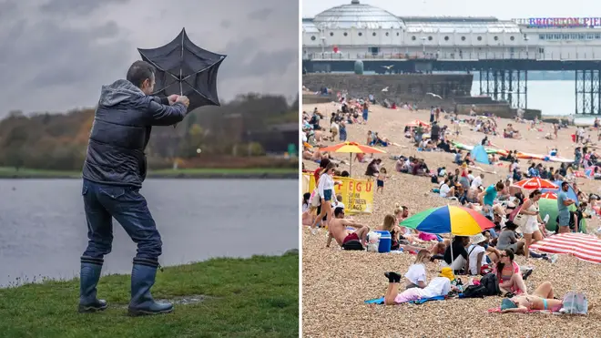


Brits face a blustery start to July as 50mph winds are set to hit ahead of a two-week heatwave at the end of the month.
Listen to this article
Loading audio...
Strongs winds are set to arrive across the UK on Saturday evening, with gusts "in excess of 50mph" hitting on Sunday.
Heading into the next week, sunny spells are forecast to take over while showers are expected in the North West. More widespread outbreaks of rain are expected on Tuesday.
There will subsequently be a slight drop in temperatures, after having soared above 32C in recent weeks, but it is not the last Brits will see of the sweltering heat.
A heatwave is set to last at least 14 days at the end of the month, with temperatures expected to reach new highs of 40C.
Read more: Exact date heatwave can hit the UK revealed as temperatures 'up to 40C' forecast
Want to know what the weather will be like this weekend?
— Met Office (@metoffice) June 29, 2023
Here's Annie with all the details 👇 pic.twitter.com/eq0OlqbSni
Met Office meteorologist Annie Shuttleworth said: "Through Friday, we will see rain and cloud clear to the east of the UK, leaving many of us in a clearer air mass.
"However, low pressure will continue to bring more rain to the far north of Scotland through Saturday.
"The rain will clear to the east on Saturday morning, so there will perhaps be a bit of a murky start for South Eastern areas.
"Elsewhere there will be a good amount of sunshine to start the day. We'll see sunny spells for much of central England and Wales.
"Northern areas will see a little bit more in the way of showers, with persistent and quite heavy rain to the far north of Scotland."
Low pressure will generally dominate the UK as we move into July bringing outbreaks of rain and showers, especially across the northern half of the UK
— Met Office (@metoffice) June 29, 2023
Northern areas will also see a spell of windy weather from Saturday with gales possible along the coasts and over high ground pic.twitter.com/zCCSjdDEBC
She added: "On Sunday, that is when the winds start to pick up. We have quite an intense jet stream at the moment and we are to the south west of an area of low pressure, so that is where we will see the strongest winds across north western Scotland at the start of Sunday.
"This will come round to eastern areas of Scotland and parts of northern England.
"We are going to see rain persist in Scotland throughout the day, so quite an unseasonable wet and windy weekend.
"For northern England, this rain will be more in the way of showers, so quite hit and miss and not everyone will see them.
"To the south, some cloud will be around but it will still feel quite bright.
"With the breeze picking up for the bulk of the UK, especially the far north where gusts could reach in excess 50mph and expose coasts to the far north and north east of Scotland.
"Temperatures will be a little bit down compared to Saturday. In the far south east is again where the warmest temperatures will be, but it will be a slightly fresher day."