Weather alert for 'intense' downpours, unseasonably strong winds and thunderstorms
2 August 2023, 12:52 | Updated: 2 August 2023, 12:55
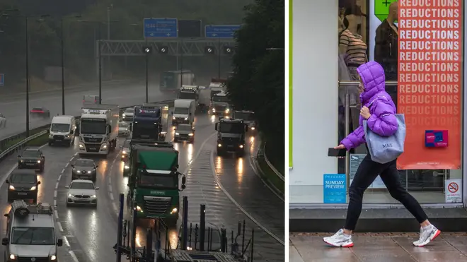


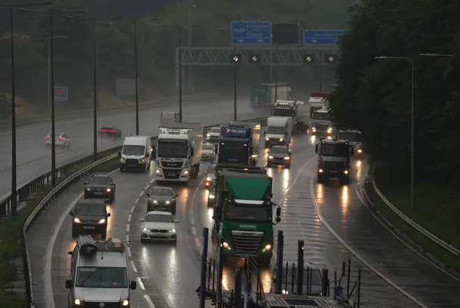
Weather warnings have been issued today ahead of the arrival of ‘unseasonably’ strong wind and rain.
Rail, roads and the electricity grid could all be disrupted - with lightning strikes forecast on Wednesday.
The Met Office has a yellow warning for wind in southern parts of England until 6pm on Wednesday, while a yellow thunderstorm warning is in place until 8pm for parts of England and Wales.
Oli Claydon, a spokesman for the Met Office, said: "The rainfall comes in quite an intense downpour so we could see some surface water issues on the roads, for example.
"We could see some lightning strikes in amongst that which could cause some disruption to power services. Those sorts of impacts, and delays to public transport, are possible as well."
Mr Claydon also said that Wales, central England and south-east England could see 25mm of rain falling in an hour and up to 40mm accumulating over a few hours.
Mr Claydon added: "We've also got a separate area of yellow warning for rain that covers some parts of Yorkshire, essentially, so running just north of Sheffield covering Leeds, Middlesbrough, Scarborough, York, Hull, that sort of area (and) that runs from 11 o'clock today until eight o'clock this evening.
"And that is more for some persistent rain throughout the day that will accumulate over a longer period of time so we could see 30-50mm building."
The Environment Agency has issued 15 flood alerts for areas including Portsmouth, the Isle of Wight, Poole and Christchurch.
Mr Claydon said that gusts of 45-50mph could hit the whole south coast of England and the western Cornwall area will potentially see wind speeds of up to 60mph.
South-east England is forecast to experience highs of 22C on Wednesday, while northern England and Scotland might see a top temperature of 19C.
Mr Claydon said: "In terms of temperatures, (they're) remaining suppressed through the remainder of this week and through the weekend."
He said the UK is set for highs of 23C on Thursday, 22C on Friday and 21C on Saturday and Sunday.
Mr Claydon said: "The weather (is) generally remaining unsettled, there is a sort of a calmer spell in parts of the west on Fridays as we get high pressure bringing slightly more settled conditions for a time on Friday in the west.
"But further wet, windy weather (is) expected by the time we get to Saturday, as another area of low pressure moves in from the west, so remaining unsettled.
"There are some early signs, there could be some potentially more settled or warm (weather), by the end of next week.
"So, there's a lot of uncertainty around that because of the movement of the various low pressure systems across the Atlantic that would lead to that."