
Exact date Brits can expect 280-mile band of snow as Arctic blast to bring temperatures of -2C
28 January 2024, 11:40


Maps show the exact date Brits can expect to be hit with snow ahead of plunging temperatures from an Arctic breeze.
Listen to this article
Loading audio...
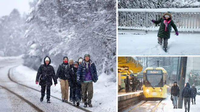
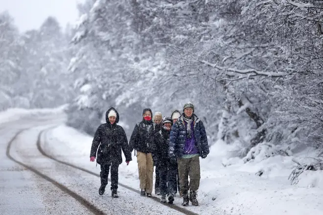
A 280-mile band of snow is set to hit parts of Scotland and northern England in the coming days, according to weather maps from WX Charts.
The maps show the snow blast hitting the country on Tuesday, with temperatures plunging as low as -2C.
The snowfall is set to hit as early as 3am on Tuesday, spreading from the north of the British Isles to as far south as the Yorkshire Dales.
Forecasts show that London, as well as surrounding Home Counties, and areas as far south as Cornwall will see temperatures drop to zero, and in some parts even -2C.
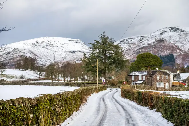
It means Brits might be forced to get out their woolly hats and scarves again after the country saw a return to milder temperatures last week following heavy snow in parts of the UK earlier this month.
Meanwhile, forecasters at the InMeteo have predicted heavy snowfall on February 6, with temperatures plunging as cold as -8C in parts of the country.
The February snow is expected to fall in northern England and the Midlands, with some predicted to see as much as 5 inches of snow.
Although, forecasters at the Met Office have previously stated such long-range forecasts are typically less reliable more than two days out.
It also follows the aftermath of two storms earlier in the week from Storm Isha and Jocelyn, which resulted in gusts of 100mph and transport chaos.
What does the Met Office say?
The Met Office has issued three yellow weather warnings across parts of the UK for Sunday.
Northern and central Scotland, as well as parts of Northern Ireland are expected to see strong and gusty winds.
A long-range forecast for between Feb 11 and Feb 25 says: “At first, changeable conditions continue to be most likely, with the wettest and windiest weather often in the north and northwest.
“Further southeast, it's more likely to be drier although some wet and windy spells are still possible here.
“Through mid-February there is an increasing likelihood of more settled conditions or winds favouring a northerly component. This would increase the chance of some colder spells, with a greater likelihood of wintry conditions at times.”


