
More snow yet: UK faces 114 hours of snowfall in polar blast with up to 10cm forecast in parts of country
17 March 2024, 09:30
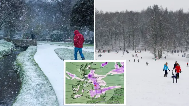


The UK could face 114 hours of snow towards the end of the month due to a blast of polar air, according to new weather maps.
Listen to this article
Loading audio...
Forecasts show a large stretch of the country could be hit by heavy snowfall in the remaining days of March, with as much as five and 10cm forecasts in parts.
Cities in northern England, the north of Wales and central parts of Scotland are among those that could be hit, according to WXCharts.
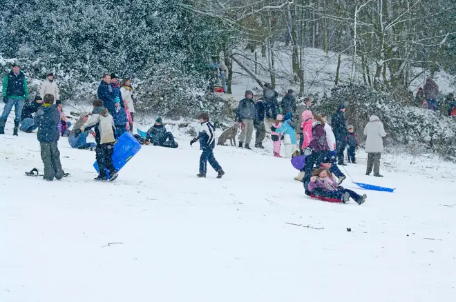
The news will come as a blow to Brits who had been hoping for the arrival of Spring weather ahead of the start of British Summer Time on March 31.
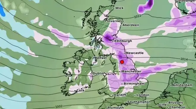
Snowfall could last for days in the western and central highlands with as much as 10cm of snow in the region.
Meanwhile, the Midlands could experience up to five centimetres of snow around March 28, alongside parts of the northeast and northwest.
Temperatures in the south could plummet to lows between 2C and 4C, the Express reports.
It comes after the UK has experienced milder weather in recent weeks, following freezing temperatures earlier in the winter.
What does the Met Office say?
The Met’s long-range forecast for 21 March until 30 March says there could be heavy rain and strong winds in the coming days.
It reads: “Dry for most places at first on Thursday, but rain will quickly spread from the nortwest across all areas. The heaviest and most persistent rain will be in the northwest, with relatively little rain reaching the southeast. Strong winds are also expected, particularly along coasts.”
By the weekend, however, sunny intervals could arrive alongside the wet weather and colder than average temperatures.
The forecast continues: “Through Friday and the weekend, northwesterly winds will bring a mixture of sunny spells and showers, some of these heavy. A drier spell may develop later in the weekend with temperatures likely to be below normal for many areas.
“Into the following week, more unsettled conditions will probably develop across parts of the UK, these most likely to affect southern areas. Northern areas are more likely to be dry but also colder.”


