
Brits brace for '572-mile wall of snow', with temperatures plunging to -10C as wintry weather rolls on
26 January 2024, 13:08


Britain is set to be blasted with a 'wall of snow' stretching across much of the country, as temperatures plummet in the coming weeks.
Listen to this article
Loading audio...
Forecasters think that snow could hit the north of the UK from February 10 and the days after, with temperatures possibly falling to as low as -10C.
British people have endured a series of storms this year so far, including batterings from Storm Isha and Storm Jocelyn this week.
Winds have reached speeds of nearly 100mph during the storms, and several people have died. The bad weather has also brought chaos to the transport network.
WXCharts showed a large front of snow moving from the east onto the UK, roughly from Lincolnshire up to the north of Scotland from February 10.
Northern Ireland could also be hit with snow showers.
Another forecaster said that snow could hit even earlier - towards the end of next week - before a bigger shower on February 2 and 3.
ExactaWeather's James Madden said: "Our projections are consistently showing up the potential for another temporary snow event towards the end of the working week and into next weekend that could bring further heavy snow to the north/Scotland, and potentially to parts of northern England, Wales and Northern Ireland/Ireland within this period.
"This is only likely to be a passing snow event for later next week and not the return of the cold and snow proper," he told the Daily Star.
"However, we do expect some major snow and cold weather to start gaining significant ground to return for in and around February 2 and 3, possibly a little earlier or later depending on a small standard deviation for any timeline changes between now and then.
"A strong Greenland blocking pattern is also something that we have repeatedly and consistently insisted would happen for February and from as early as September, due to an earlier and now confirmed sudden stratospheric warming (SSW) event."
The Met Office also hinted at the possibility of snow in February.
They said in their long-range forecast: "Through the middle of February, changeable conditions are most likely with the wettest and windiest conditions in the north and northwest.
"It is likely to be drier further southeast, although some wet and windy spells are still possible here.
"Later in the month there is an increasing likelihood of winds from the north or east, which will increase the chance of some colder spells and perhaps snow."
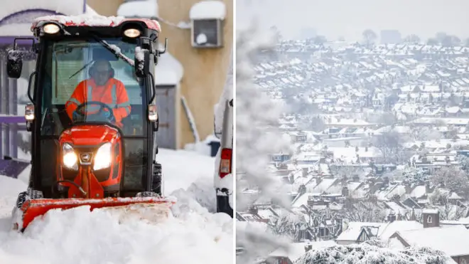
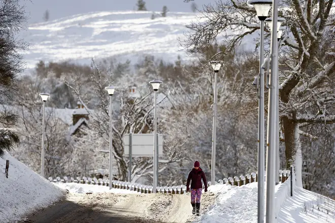
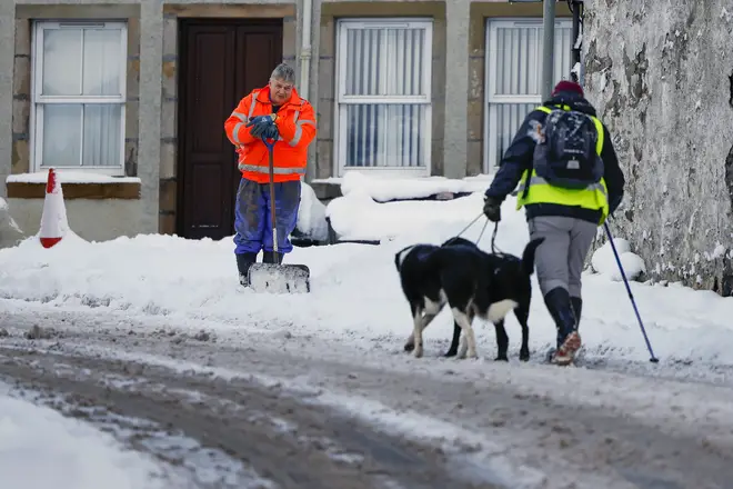
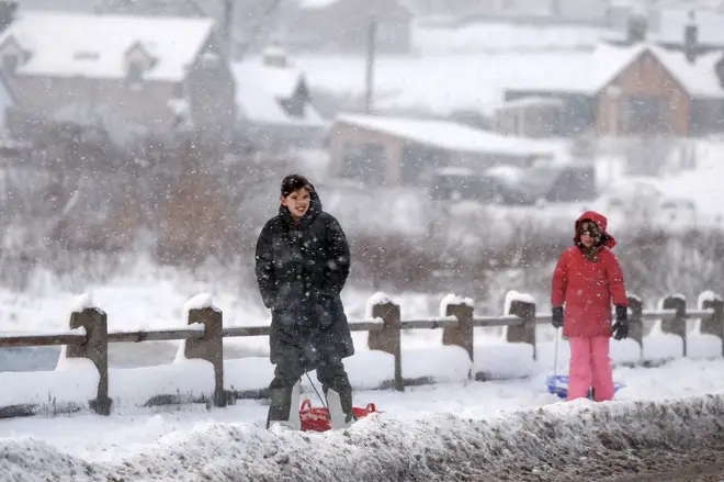
Snow hit the UK earlier in January, with more than 100 schools forced to close in England and Scotland, and chaos striking roads and railways.


